
2.13 M
Total Population

1.01 M
Male

1.11 M
Female

1,504/km²
Density

1,414 km²
District Area

82 Km
Coastline

80%
Coastal Region

13%
Water Bodies
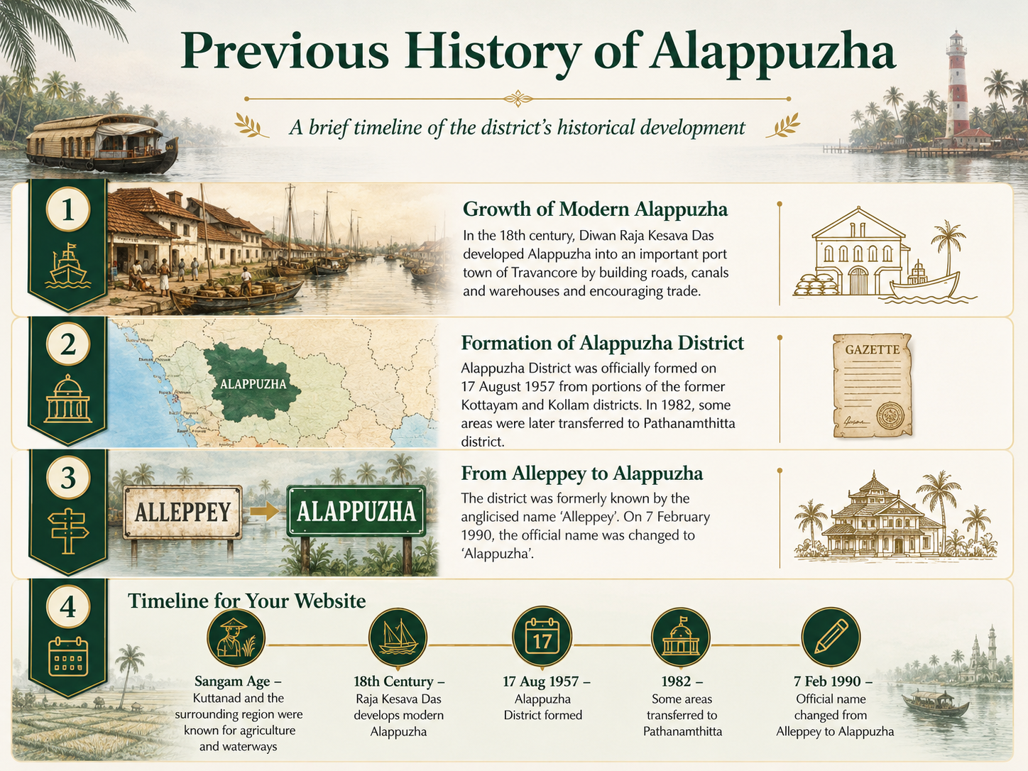
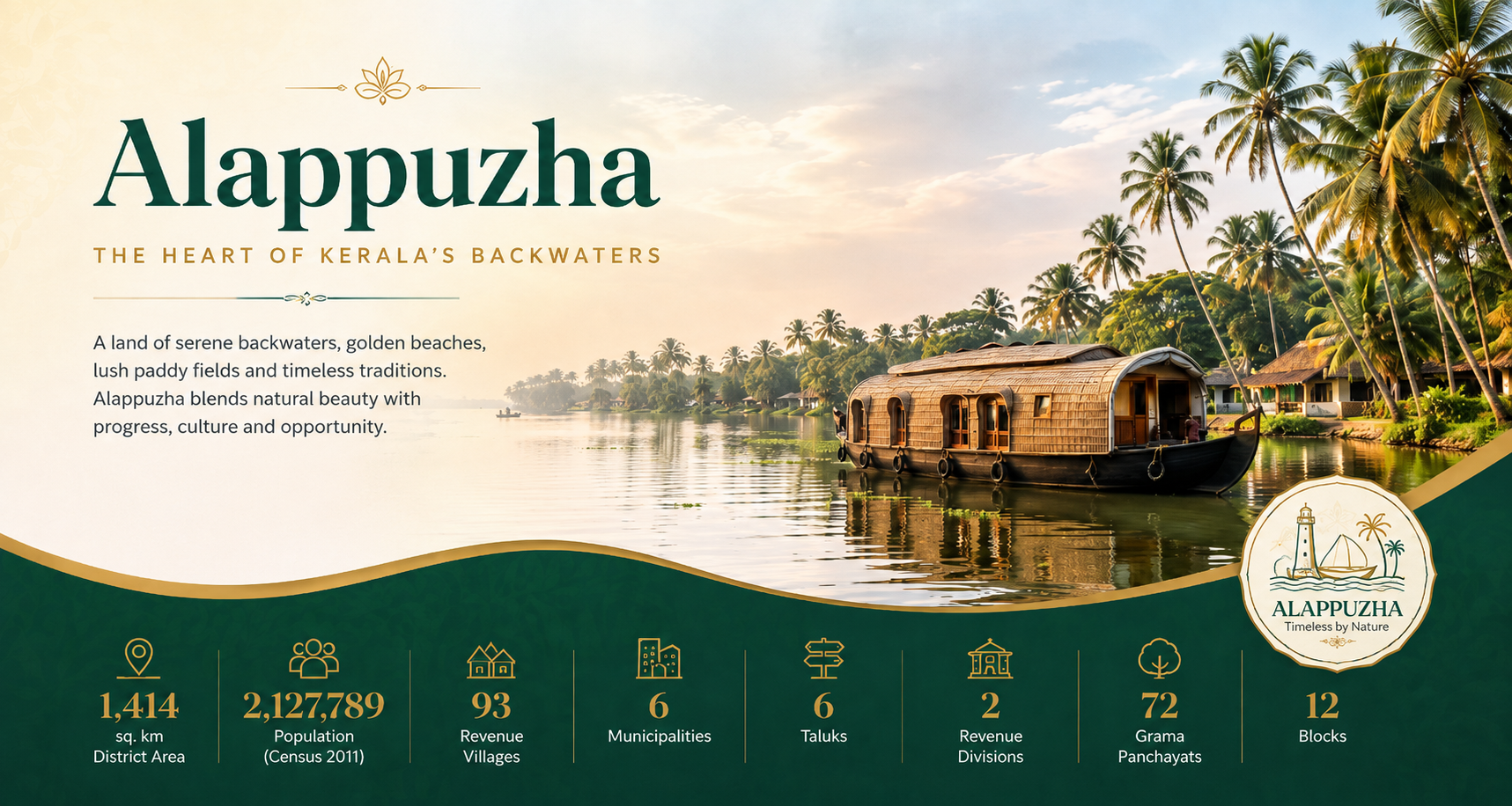
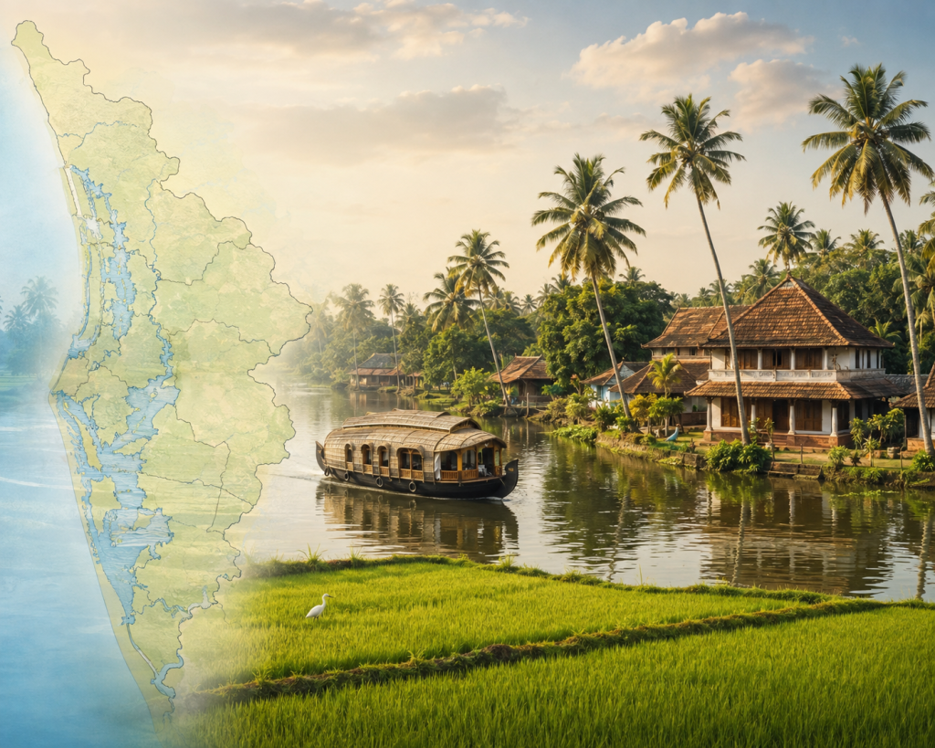
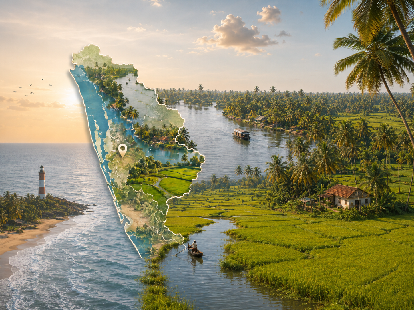
Alappuzha district was formed on 17 August 1957. The current official district profile lists an area of 1,414 sq. km, two revenue divisions, six taluks, 93 villages, six municipalities, 12 blocks and 72 Grama Panchayats. Alappuzha, often called the “Venice of the East,” is one of Kerala’s most distinctive districts, known for its beautiful backwaters, canals, lagoons, coconut groves, paddy fields and long coastal landscape. The district is closely connected with Kuttanad, a famous agricultural region where farming and village life are shaped by an extensive network of waterways. Houseboats, traditional canoes and water transport are an important part of Alappuzha’s identity. The district is also rich in history, culture and local traditions, with historic temples, churches, traditional Kerala architecture, coir-based industries and celebrated boat races such as the Nehru Trophy Boat Race. Alappuzha combines agriculture, fishing, tourism, trade and public services, making it an important cultural and economic centre of Kerala while preserving the peaceful character.
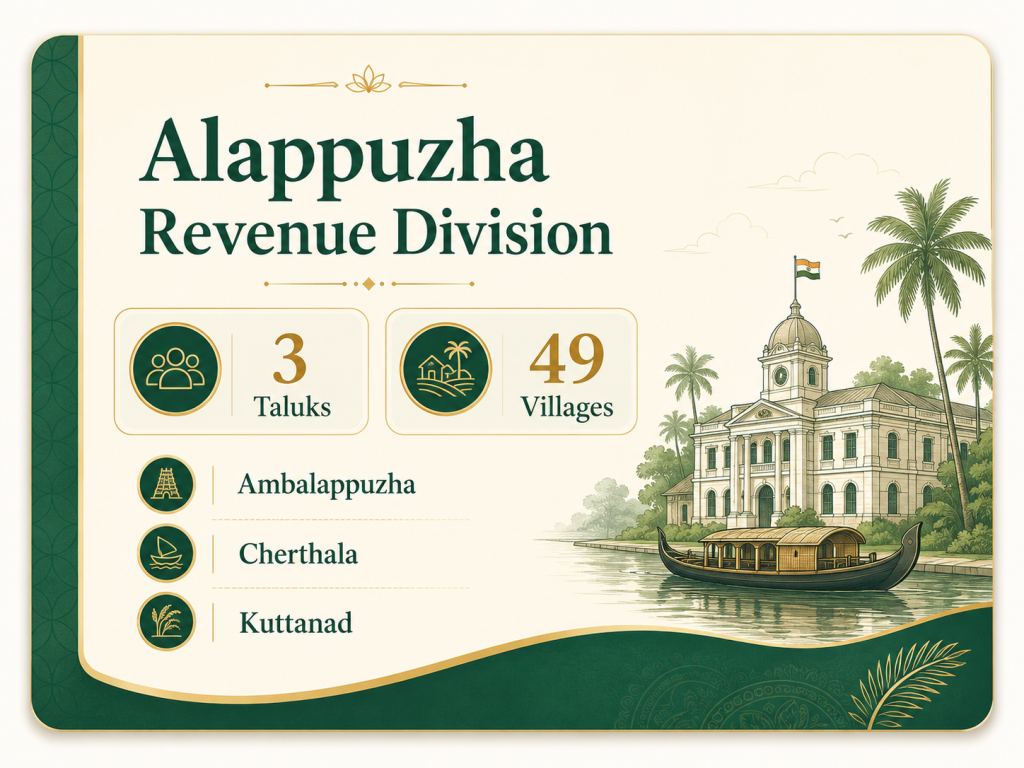
Alappuzha District has 93 Revenue Villages distributed across 6 taluks—Cherthala, Ambalappuzha, Kuttanad, Karthikappally, Chengannur and Mavelikkara. These villages form the basic revenue-administration units of the district. Alappuzha also has 72 Grama Panchayats, 12 Block Panchayats and 1 District Panchayat under the Local Self Government system.
Alappuzha District had a population of approximately 2.13 million according to Census 2011. Female population is slightly higher than male population, reflecting a sex ratio of approximately 1,100 females for every 1,000 males.
Total Population
Male
Female
Density
Alappuzha has a unique low-lying coastal landscape shaped by backwaters, rivers, canals, lagoons and paddy fields. Much of the district lies in the coastal plain, while the famous Kuttanad region includes areas below sea level. The district has no major highland or forest region, making its geography strongly connected to water and agriculture.
District Area
Coastline
Coastal Region
Water Bodies
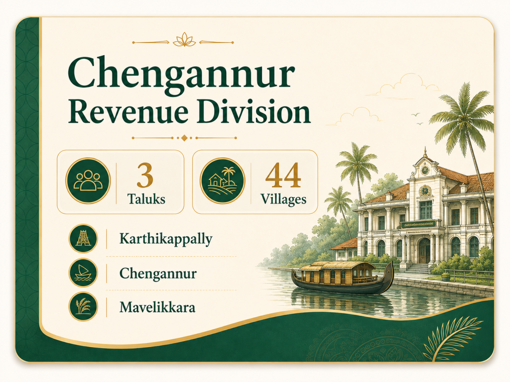
Alappuzha District has a structured revenue administration that manages land records, revenue collection, land acquisition, disaster management and other government functions. The district consists of 2 Revenue Divisions, 6 Taluks and 93 Revenue Villages, ensuring administrative services reach both urban and rural communities.
Alappuzha District has a structured revenue administration that manages land records, revenue collection, land acquisition, disaster management and other government functions. The district consists of 2 Revenue Divisions, 6 Taluks and 93 Revenue Villages, ensuring administrative services reach both urban and rural communities.
WhatsApp us